

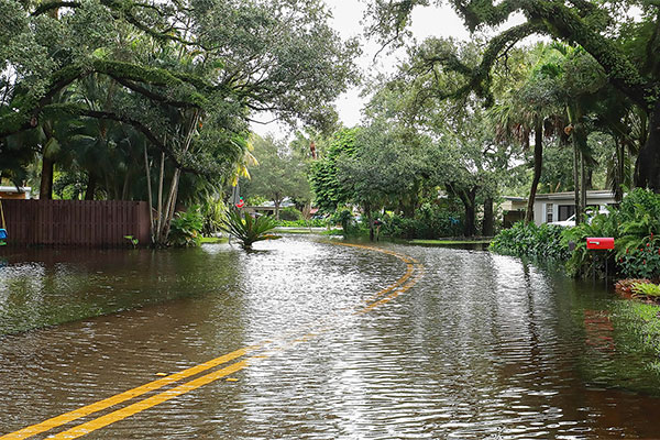
FEMA identifies and maps certain areas of land that are prone to flooding based on previous flood history. These maps are revised as flood patterns emerge, but roughly 58% of these maps inaccurately identify Special Flood Hazard Areas (SFHA) especially in rural areas like North Georgia. Insurance companies utilize these maps to assess which properties lie within the special flood hazard zone and require them to carry flood insurance and/or obtain special permitting prior to construction.
Thank you for voting Davis Engineering & Surveying "Best Engineer and Surveyor" of Dahlonega for the 8th year in a row!