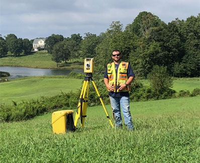

GPS Machine Control and 3D Model
Our team utilizes the latest Leica technology to produce 3D GPS models for machine control which bridge the gap between design and existing conditions. Through the use of this model, contractors can eliminate a majority of the construction layout needs for accurate placement of dirt, footings, and other materials. Our surveyors routinely establish primary control networks to localize machine control equipment. Our machine control localization process involves more than just a control loop and typically includes multiple checks on site to verify site benchmarks, existing structures, and property lines.