Aerial Imagery
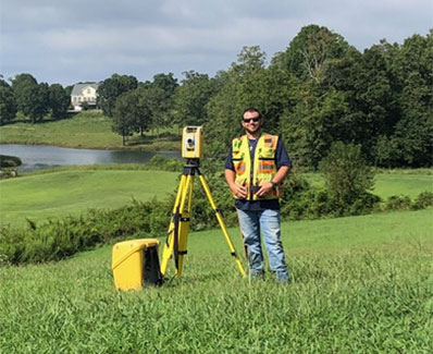
Use of photogrammetry drone to collect aerial image data of the property. This service is typically included with boundary and ALTA surveys to maximize accuracy and quality of data collected.


Use of photogrammetry drone to collect aerial image data of the property. This service is typically included with boundary and ALTA surveys to maximize accuracy and quality of data collected.