Drone LiDAR
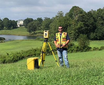
Use of LiDAR drone to collect aerial contour data of the property. This service is more cost effective than field run topographic data and delivers high quality contour data.


Use of LiDAR drone to collect aerial contour data of the property. This service is more cost effective than field run topographic data and delivers high quality contour data.