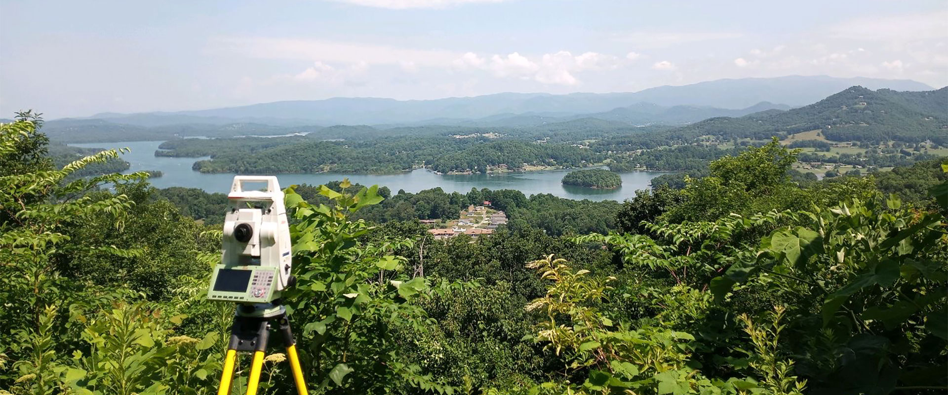


Use of photogrammetry drone to collect aerial image data of the property. This service is typically included with boundary and ALTA surveys to maximize accuracy and quality of data collected.
-
DISCOVER DES SERVICES
DES is a full service engineering and surveying company able to handle all aspects of permitting process from start to finish for residential and commercial projects. -
THE DES DIFFERENCE
We walk our talk and have laser focus on our clients' needs. We love what we do and it shows in every project. -

CAREER OPPORTUNITIES
Are you a seasoned survey or drafting professional looking for a position with a dynamic company in a beautiful location?
DES NEWS

Erosion Control Planning & Regulatory Compliance | DES
Erosion control is a critical component of land development and environmental protection. Without proper planning and management, uncontrolled erosion can lead to soil loss, sedimentation in waterways, costly regulatory violations and remediation measures. Our Dawsonville civil engineers specialize in erosion control design, offering comprehensive environmental services to ensure compliance.