
Drone Services
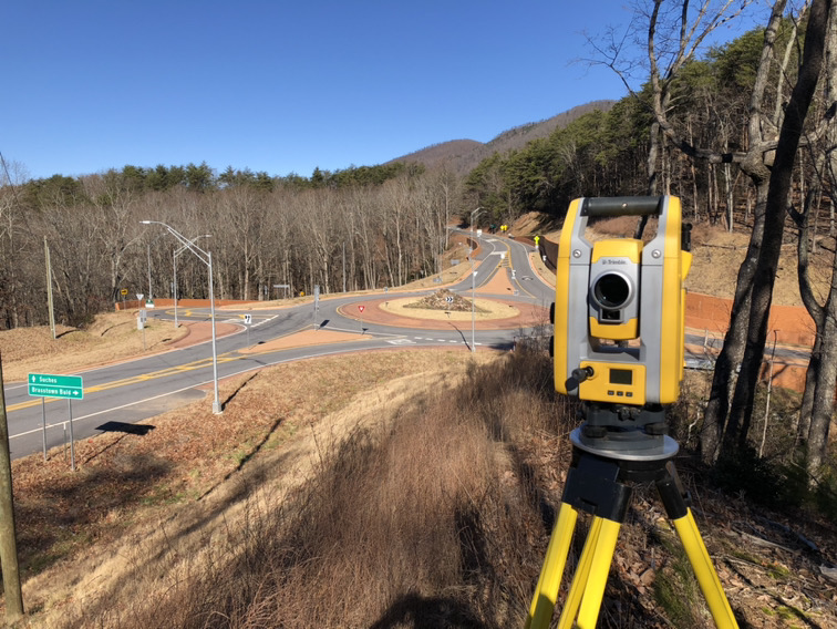
Our FAA licensed team delivers exceptional drone services, specializing in aerial imagery, photogrammetry and LiDAR drone data collection using cutting-edge drone technology. With certified UAV107 pilots, we ensure safety and quality standards are met on every project. Our commitment to drone safety is unmatched, with pilots recognized by the Committee for Power and Public Safety.
LiDAR Topographic Data
Use of LiDAR drone technology to collect aerial 2-foot contour data of the property. Our LiDAR drone services are a great option for future developments, offering a solution that is more cost effective than field run topographic data.
Photogrammetry
Our drone services utilize the latest drone technology to collect high resolution aerial imagery of the property. During flight, multiple images are collected and later pieced together, creating one cohesive image.
Aerial Imagery & Video
Whether you need aerial imagery for marketing your property or client presentations, our high resolution drone footage helps highlight the property’s key features and surroundings, making your property stand out from the rest.