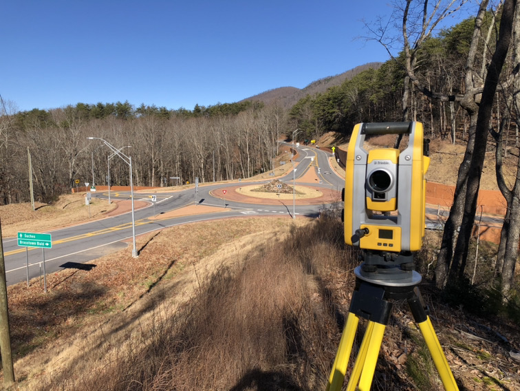
LiDAR Topographic Data
Use of LiDAR drone technology to collect aerial 2-foot contour data of the property. This service is a great option for future developments, offering a solution that is more cost effective than field run topographic data and delivers survey-grade results, maximizing accuracy and quality of data collected.


