

Dividing property into multiple lots is a significant undertaking that requires planning, coordination, and approval from local governing agencies. At Davis Engineering & Surveying (DES), we help property owners navigate every step of the subdivision process, from establishing property boundaries to recording the final survey plat. Many property owners begin their search for surveying companies near me when considering a subdivision project, but understanding the process involved can help them make informed decisions from the start.

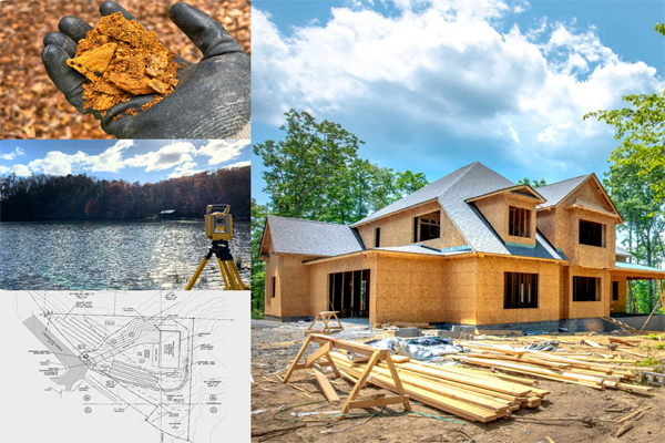
Purchasing land for commercial development can be a strong investment, but not every property is suitable for development. Before moving forward with a purchase, it is important to evaluate site conditions that may affect feasibility, cost, and long-term success. At Davis Engineering & Surveying (DES), our land planning and site feasibility services combine experience in civil engineering and surveying to help clients understand development opportunities and potential limitations before buying property.

We’re proud to share that Davis Engineering & Surveying (DES) has been named Best of Dawson 2026 for land surveying. This recognition means a lot to our entire team. Our goal has always been to provide dependable, high-quality engineering survey services and trusted civil engineering and surveying support to our community. As one of the trusted surveying companies nearby, it’s an honor to know our neighbors value the work we do.

Choosing the right civil engineer for your project is one of the most important decisions you’ll make in the planning and development process. At Davis Engineering & Surveying (DES), we know that the success of any build — whether commercial or residential — depends on selecting a firm that provides thoughtful designs that align with your vision and long-term goals. As Dawsonville civil engineers, we understand the local challenges, regulations, and restrictions that could impact development projects.

Choosing the right soil scientist is one of those early project steps that makes everything else go smoother. Whether you’re planning a new home, adding onto an existing property, or starting a larger development, having a solid soil report and soil survey in hand gives you the information you need to move forward confidently. At Davis Engineering & Surveying, environmental conditions are a crucial part of our civil engineering and surveying services, and we understand a good soil evaluation can impact the rest of your project.

The story of engineering goes back thousands of years, and over time, it’s shaped the way we live, work, and travel. As Dawson civil engineers, we appreciate how far civil engineering has come and how it continues to evolve today. At our engineering firm, we take pride in continuing established traditions and combining modern technology and solutions in our projects.

At Davis Engineering and Surveying, we believe that a reliable survey plat is the foundation of every successful project. Whether you are building a new home, developing a commercial site, or making improvements to your property, plats provide essential details to move forward with confidence. As trusted Dawsonville surveyors, our goal is to deliver precise, dependable, and accurate plats that help clients avoid delays, disputes, and costly boundary line adjustments.

A landscape plan doesn’t just consider the site layout—it considers which new plantings will thrive. Many trees, shrubs, and perennials perform best when planted in cooler fall weather, giving roots time to establish before the heat of summer. By starting your landscape plan in fall, planting schedules align with optimal growing conditions. Our landscape architecture services prioritize proportion, order, and unity, ensuring every planting decision supports both beauty and function, with future growth in mind. Preparing your landscape plan in the fall also gives you time to prepare for spring installation if you're not quite ready to begin your project this year.
At Davis Engineering & Surveying, we understand how critical proper document management and document archival are to the success of any development project—whether it’s residential, commercial, or industrial. In the world of civil engineering design, having accurate, organized, and accessible documentation is essential. That’s why we offer in-house reprographic services designed to deliver both precision and efficiency from start to finish.

Choosing the right land surveyor is an important first step for any successful project—whether you're buying property, resolving a boundary issue, or beginning construction. At Davis Engineering & Surveying, we’ve worked with clients across North Georgia, and we know what separates a reliable land surveyor from the rest. If you’re looking for a land survey company near me, trust the experts at Davis Engineering & Surveying.

Davis Engineering & Surveying knows summer is one of the busiest seasons for construction. As a civil engineering firm in North Georgia with years of experience working across Lumpkin, Dawson, and surrounding counties, we know that summer brings its opportunities and challenges. Here's what we consider essential steps for successful construction during the summer months.
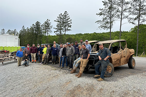
At Davis Engineering and Surveying, workplace safety is more than just a checklist—it’s part of our culture. Whether we're out on a rural tract of land conducting a survey or on a busy construction site, our employees are trained to prioritize safety every step of the way.

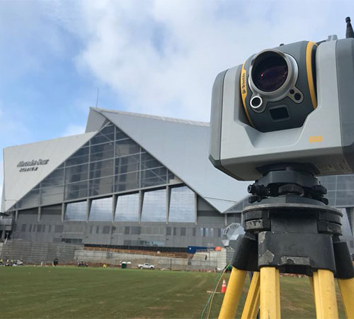
Drone technology has completely restructured the way land surveying, civil engineering, and construction projects are managed. At Davis Engineering and Surveying (DES), we’ve embraced these advancements to provide our clients with more precise, efficient, and cost-effective solutions. Two of the most impactful services in our survey toolbox are drone LiDAR data and aerial imagery, which have changed the way we collect and analyze data.
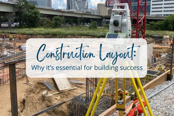
When it comes to construction projects, precision is everything. Construction layout in civil engineering and surveying plays a vital role in ensuring that a project is built to design specifications. Without proper planning and accurate construction layout, even minor miscalculations can lead to costly errors, project delays, and site issues, making construction layout the backbone of a successful build.
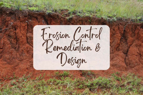
Erosion control is a critical component of land development and environmental protection. Without proper planning and management, uncontrolled erosion can lead to soil loss, sedimentation in waterways, costly regulatory violations and remediation measures. Our Dawsonville civil engineers specialize in erosion control design, offering comprehensive environmental services to ensure compliance.

In the field of land surveying, precision and accuracy are everything. Whether staking property lines, collecting topographic data, or preparing plats for development, the work of a land surveyor is critical to ensuring projects are built on a solid foundation. At Davis Engineering and Surveying, we recognize that highly trained dawson county survey technicians are the backbone of our operations—not only for individual career growth but for the integrity of the industry as a whole. That’s why we support and encourage our team to engage and excel in the Certified Survey Technician (CST) program.

When it comes to understanding property ownership, a survey plat is one of the most critical documents a landowner can possess. A plat is a legally approved map of a property’s boundaries and dimensions. Plats are commonly known as a boundary survey, or land survey, and provide property owners with a detailed look at their property—an essential tool when buying or selling.

Civil engineering and surveying is always evolving, driven by new technologies, a focus on sustainability, and the growing needs of our communities. At Davis Engineering and Surveying, we make it a priority to stay on top of these changes so we can deliver innovative, high-quality, and cost-effective solutions to our clients. Here are some of the key trends that are reshaping the industry today.
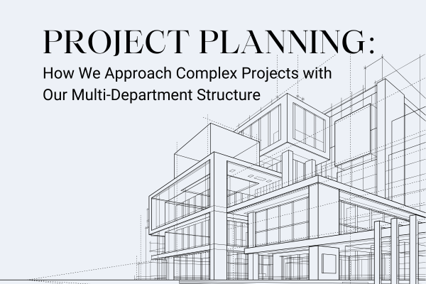
At Davis Engineering and Surveying, we understand that successful civil engineering design and site planning requires a well-thought-out strategy and careful coordination. Our multi-department structure and proactive approach are key to efficiently managing complex projects, ensuring every step is handled with care. By having a variety of specialists in various fields, ranging from surveying to landscape architecture, our team is well versed in working across the various phases of development, proactively preparing for potential setbacks, and addressing challenges quickly.
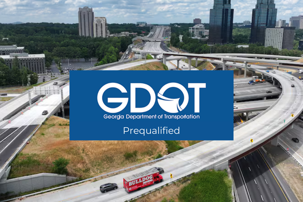
At Davis Engineering and Surveying (DES), we’re dedicated to delivering top-notch engineering and surveying services to our clients, local government, and state authorities. Part of how we do this is by maintaining Georgia Department of Transportation (GDOT) prequalifications. These credentials mean that we’re authorized and qualified to provide specialized services for a variety of essential improvement and development projects across Georgia. With our current GDOT prequalifications—and an exciting lineup of new ones—DES is ready to tackle even more unique and challenging projects.
Starting a residential residential site development can feel like a big task, especially when there are so many steps - where do I even start? Whether you’re building a single-family home or working on a larger residential development project, it’s important to know what’s required and what to expect. At Davis Engineering and Surveying (DES), we’re here to help guide you through the process.
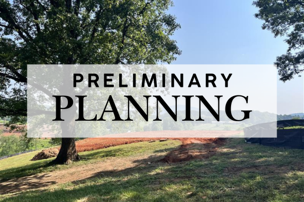
Preliminary land planning is an essential step in preparing your property for development. At Davis Engineering and Surveying, we take pride in guiding our clients through this initial process, helping to lay the groundwork for a smooth and successful project. Our approach ensures you know the limitations of development on your property and can identify risk factors early on, avoiding potential complications with your land development project.
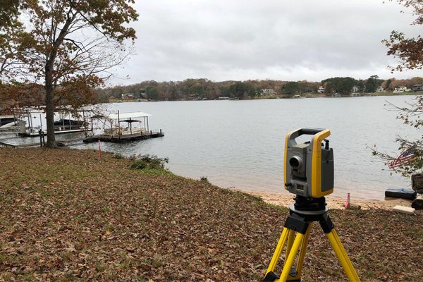
At DES, we understand the importance of minimizing the impact of our services to your property. That’s why our surveyors utilize the latest surveying and drone technology and follow leave no trace principles – leave what you find, respect wildlife, and properly dispose of waste – during performance of our services. That’s why fall stands out as the best season to schedule a land survey.
When it comes to understanding your property boundaries, it’s crucial to know that there is no substitute for a line marking or boundary survey performed by a professional land surveyor. All maps are not created equal and public databases, like qPublic, excel in their intended purpose, but have limitations when it comes to accurately displaying and identifying property boundaries.

FEMA identifies and maps certain areas of land that are prone to flooding based on previous flood history. These maps are revised as flood patterns emerge, but roughly 58% of these maps inaccurately identify Special Flood Hazard Areas (SFHA) especially in rural areas like North Georgia.
Thank you for voting Davis Engineering & Surveying "Best Engineer and Surveyor" of Dahlonega! We have proudly served the North Georgia area since 2009 and are so grateful for another great year serving our community.