

When it comes to understanding property ownership, a survey plat is one of the most critical documents a landowner can possess. A plat is a legally approved map of a property’s boundaries and dimensions. Plats are commonly known as a boundary survey, or land survey, and provide property owners with a detailed look at their property—an essential tool when buying or selling.
The Importance of a Survey Plat vs. Line Marking
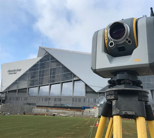
Marking a property line with stakes or flags can provide a helpful visual, but only a survey plat, prepared by a licensed land surveyor, provides a definitive record of property boundaries. A survey plat is a scaled drawing that details the exact measurements and features of a property, including lot dimensions, easements, rights-of-way, and any improvements on the land.
Without an official property boundary survey, relying on old fence lines or general assumptions can lead to costly mistakes, such as building on a neighbor’s land or violating zoning setbacks. Having a survey plat in hand helps prevent these issues by offering a precise legal representation of your property’s boundaries.
What You’ll Find on a Plat
A survey plat includes several essential elements that provide a clear picture of a property’s boundaries and features. These typically include:
- Property Lines – The exact legal boundaries of a parcel of land demonstrated with bearings and distances.
- Lot Size – The acreage of the property, with precise closure measurements.
- Easements & Right-of-Way – Areas designated for public or private utilities, driveways, or access roads.
- Structures & Improvements – What we call “existing conditions” - Buildings, fences, driveways, and other property improvements that must be documented to ensure compliance with Georgia Plat Act standards and regulations.
- Setbacks & Buffers - Setbacks and buffer areas limit the buildable area within a property boundary, so it’s important to note them on a survey. A stream buffer is designed to preserve the integrity of the property, while a setback ensures proper spacing between structures.
- Surveyor’s Certification – A statement confirming the accuracy of the survey, signed and sealed by a licensed surveyor.
It’s crucial to have an up-to-date survey plat to ensure that all improvements—such as new buildings, driveways, or fences—are accurately designated. An outdated survey can lead to issues when buying, selling, or developing a property.
Municipality and HOA Requirements
Each county, city, and HOA has its own codes and requirements for civil design plans and surveys in addition to the standard requirements established by the State of Georgia. A plat is designed to meet both State and Local requirements, providing a scaled drawing showing existing improvements, signed and sealed by a registered surveyor. HOAs often require a survey prior to installing a fence, adding a structure to your property, expanding your home, or building a deck, to assist with the approval process and ensure the improvements fit within their regulations.
The Recording Process for Plats
While a survey plat is an essential document for property transactions, it does not replace a deed. At Davis Engineering and Surveying, we assist with the preparation of plats and legal descriptions, but we do not produce or record deeds. Recording a plat officially enters it into public record, making it accessible for reference in future transactions and finalizing boundary line changes. However, a deed—which is a separate legal document—serves as proof of ownership and is typically handled by attorneys or title companies. The property owner may request that the plat be recorded with the appropriate county office when the survey is complete, but this is not required.
Ensure Your Property is Properly Documented
Whether you’re purchasing land, planning construction, or resolving a boundary dispute, an accurate property boundary survey is key. If you're searching for surveying services near me, we provide precise survey plats to help property owners protect their investments and navigate the complexities of land ownership. Contact us today to schedule your survey.