


-
DISCOVER DES SERVICES
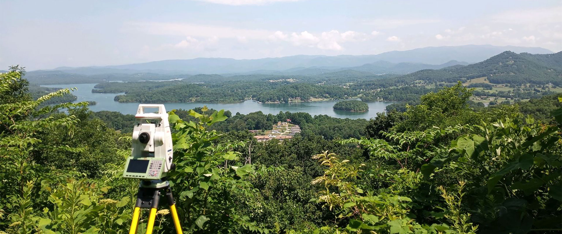
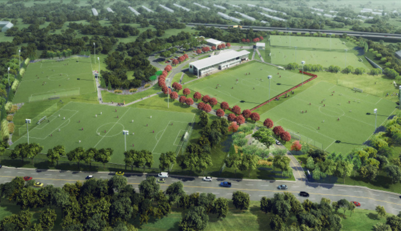
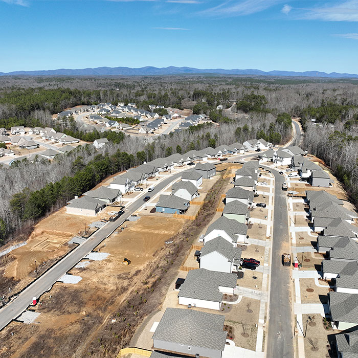
DES is a full service engineering and surveying company able to handle all aspects of permitting process from start to finish for residential and commercial projects. -
THE DES DIFFERENCE
We walk our talk and have laser focus on our clients' needs. We love what we do and it shows in every project. -

CAREER OPPORTUNITIES
Are you a seasoned survey or drafting professional looking for a position with a dynamic company in a beautiful location?
DES NEWS

Fall Landscape Planning
A landscape plan doesn’t just consider the site layout—it considers which new plantings will thrive. Many trees, shrubs, and perennials perform best when planted in cooler fall weather, giving roots time to establish before the heat of summer. By starting your landscape plan in fall, planting schedules align with optimal growing conditions. Our landscape architecture services prioritize proportion, order, and unity, ensuring every planting decision supports both beauty and function, with future growth in mind. Preparing your landscape plan in the fall also gives you time to prepare for spring installation if you're not quite ready to begin your project this year.