

Dividing property into multiple lots is a significant undertaking that requires planning, coordination, and approval from local governing agencies. At Davis Engineering & Surveying (DES), we help property owners navigate every step of the subdivision process, from establishing property boundaries to recording the final survey plat. Many property owners begin their search for surveying companies near me when considering a subdivision project, but understanding the process involved can help them make informed decisions from the start.
Major Plat vs. Minor Plat
Before beginning a subdivision project, it is important to understand the difference between a major plat and a minor plat.
A minor plat typically involves a simple division of land into a small number of lots with limited infrastructure requirements. A major plat, on the other hand, involves the creation of multiple lots and often requires additional approvals, roadway design, utilities, stormwater management, and coordination with local municipalities.
Because of these additional requirements, major subdivisions involve several phases before a final survey plat can be approved and recorded.
Step 1: Establish the Property Boundaries
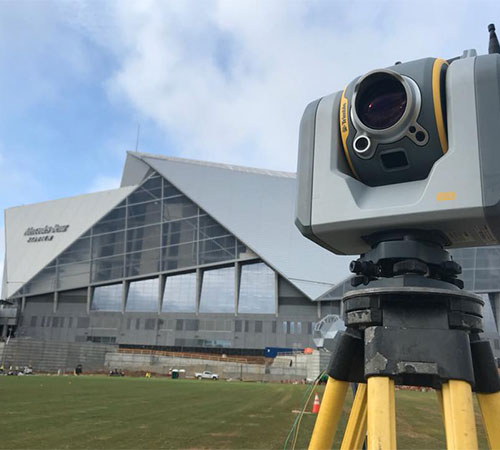
Every subdivision project begins with a boundary or retracement survey. Before land can be divided, it is necessary to determine exactly how much area there is to develop.
This process results in a property boundary plat that identifies existing property lines, easements, buffer areas, and the overall tract boundaries. A well-prepared property boundary plat provides the foundation for the entire subdivision process and ensures that future lot layouts are based on accurate information.
Step 2: Create a Conceptual Subdivision Plan
Once the property boundary plat is complete, our team prepares a conceptual subdivision plan. This preliminary layout provides a rough sketch of the proposed lots, roadways, utility connections, and overall development concept.
The conceptual plan allows property owners to review the proposed layout and make adjustments before additional time and resources are invested in the project. Changes to lot sizes, access points, or roadway configurations can often be addressed during this stage.
Step 3: Address Zoning Requirements
Some subdivision projects may require rezoning before development can move forward. If the property's current zoning classification does not support the proposed subdivision density or intended use, rezoning approval may be necessary.
Identifying zoning requirements early in the process can help avoid delays later in the project.
Step 4: Prepare and Submit the Preliminary Survey Plat
After the conceptual subdivision plan has been approved by the client, DES prepares a preliminary survey plat for submission to the appropriate municipality and/or Board of Commissioners.
The preliminary survey plat allows local officials to review the proposed subdivision layout and determine whether it meets applicable regulations and development standards. Most municipalities conduct these reviews during scheduled monthly meetings, making submission deadlines an important consideration when planning your project timeline.
Once preliminary approval has been granted, the project can move into the civil design and permitting phase.
Step 5: Civil Design and Permitting
Following preliminary plat approval, our civil engineering team prepares construction documents for the subdivision. These plans address grading, drainage, utilities, roadways, and stormwater management requirements.
Before construction can begin, the property owner must obtain the necessary permits, including a Land Disturbance Permit (LDP) where required. During this phase, minor adjustments to the subdivision layout may be necessary based on final engineering design requirements.
Step 6: Prepare the Final Survey Plat
After construction plans have been approved and permitting requirements have been satisfied, DES prepares the final plat, which serves as the official document used to establish the newly created lots. Survey crews set new property corners and mark lot lines, providing physical monumentation for each of the new lots.
Step 7: Final Approval and Recording
The final survey plat must be submitted for approval before it can be recorded. Once approved, the survey plat is entered into the public record, officially creating the new lots and completing the subdivision process.
Recording the final survey plat provides legal documentation of the subdivision and allows future property transactions to reference the newly established lots.
Ready to Start a Property Division?
If you are considering dividing property, it is important to begin with an accurate property boundary plat and a clear understanding of the approval process. Whether your project involves a minor division or a major subdivision, DES can help guide you from the initial survey through the recording of the final survey plat. If you've been searching for survey engineers near me, our team has the experience and resources to help move your project forward.
To request a proposal for your project, visit our Request for Proposal page. Property divisions are listed as a "Division" request on the form.
Request a Proposal: https://davisengineers.com/contact-us/proposal-request