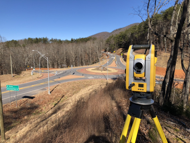
Topo Stockpiles
At DES, our civil engineering and surveying team provides accurate topographic stockpile data to help clients manage their properties. Using our advanced drone services or traditional survey equipment, we collect precise topographic data to determine the volume of dirt on-site. Whether you need to haul excess material off your property or redistribute it elsewhere, our calculations ensure you have the information necessary to make cost-effective decisions. With reliable data from our surveying experts, you can streamline your project and avoid unexpected site challenges.


