Elevation Certificates & LOMAs
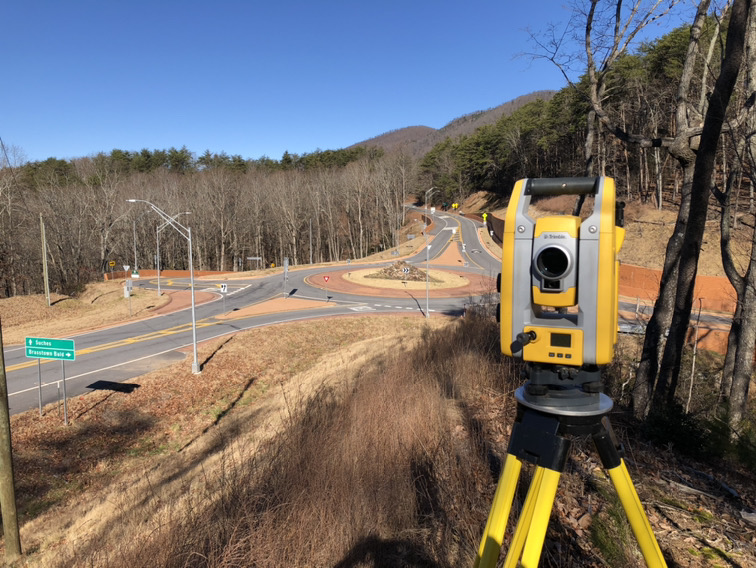
Completing an elevation certificate or LOMA combines engineering surveying services to evaluate the actual flood risk to your property. To determine your property’s flood risk, our team of survey professionals will conduct a thorough field analysis, identifying locations and elevations of existing structures on the property in relation to the adjacent ground level and 100-year flood zone area. Once the elevations have been verified, we will prepare an elevation certificate or LOMA form to be filed with FEMA verifying or amending the existing flood map.


