Field Run Topographic Data
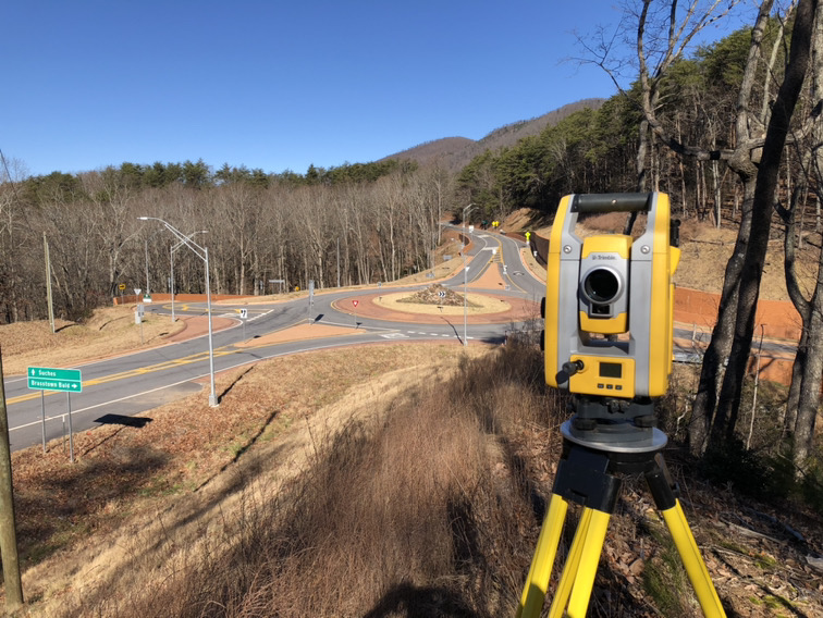
Service includes field location of contours on the property. This is the highest quality topographic data available, providing the most up to date and accurate contour data.


Service includes field location of contours on the property. This is the highest quality topographic data available, providing the most up to date and accurate contour data.